The Tidal Frontier: Where Inland River Meets Global Ocean
Situated 110 kilometers inland from the open waters of the North Sea, Hamburg owes its historical power and modern prosperity to the broad tidal currents of the Lower Elbe (Unterelbe). At the Bunthaus spit, the river bifurcates into the Norderelbe and Süderelbe, creating a complex inland archipelago that hosts one of the planet’s premier deep-water container ports.
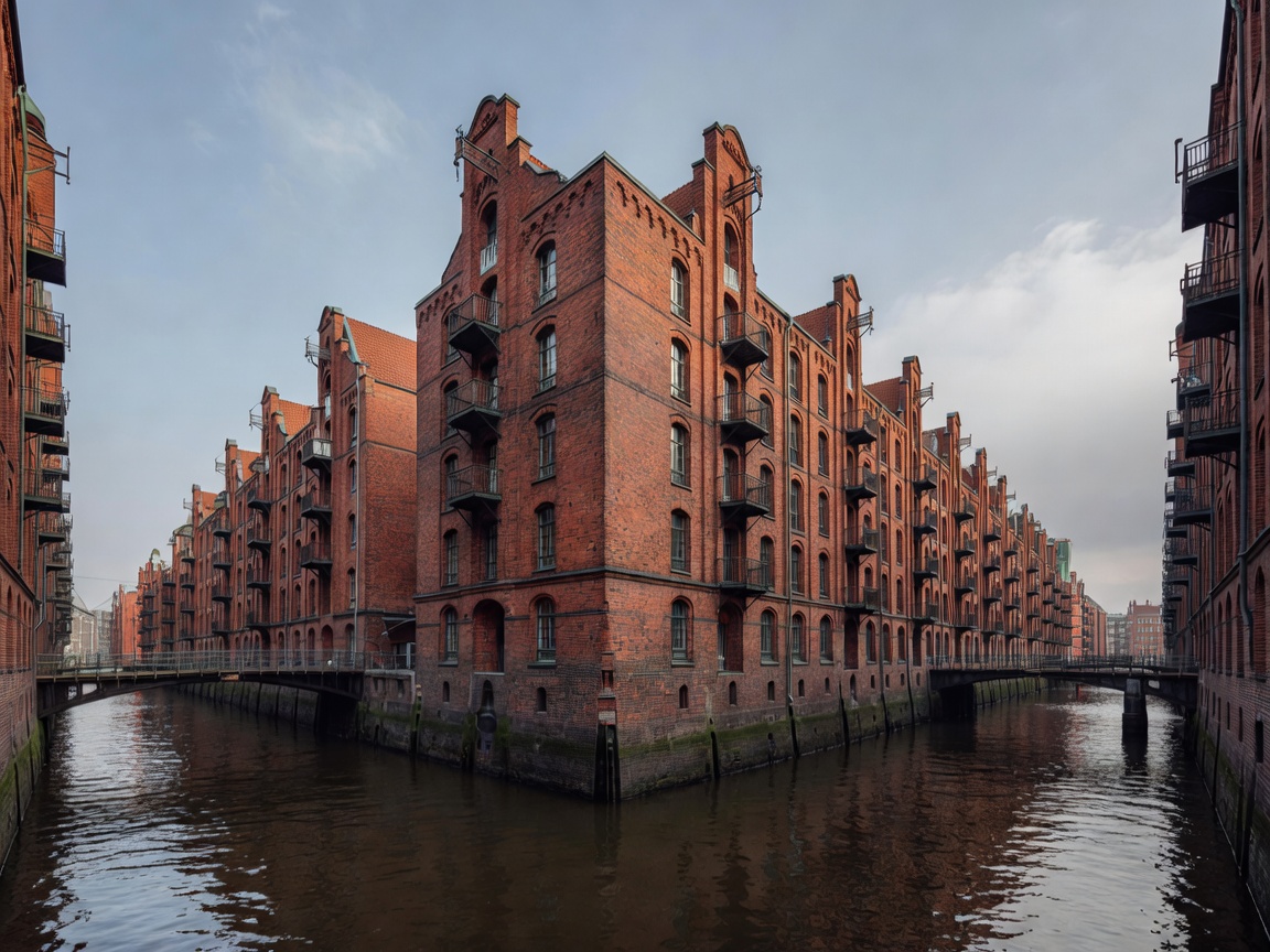
Speicherstadt and the HafenCity Transformation
Built between 1883 and 1927 on thousands of oak foundation piles, the Speicherstadt remains the largest contiguous warehouse ensemble in the world. Its red-brick Gothic revival warehouses were designed with dual access: lighters and barges entered directly from the canal flutes on the water side, while horse carts loaded on the land side. Today, this heritage zone transitions into HafenCity, Europe's largest inner-city urban expansion project, crowned by the wave-shaped glass facade of the Elbphilharmonie concert hall.
"The North Sea breathes through the center of Hamburg twice each day. A 3.6-meter tidal pulse reverses the river current, providing clearance for mega-container vessels drawing up to 15 meters of water."
Hydrological Estuary Dynamics and the Köhlbrand Crossing
Managing the Unterelbe requires precision civil hydrography:
- Köhlbrand Bridge (Köhlbrandbrücke): A 3,618-meter cable-stayed bridge elevated 53 meters above mean high water, ensuring open transit for maritime shipping into the Waltershof basins.
- Storm Surge Barriers: The St. Pauli floodwalls and the Billwerder Bucht flood barrier protect the metropolis against severe North Sea storm surges (Sturmfluten).
- Estuary Dredging & Ecological Preservation: Continual balancing between maintaining the 14.5m navigation fairway for commercial ships and safeguarding freshwater-saltwater mixing zones.