BASIN TELEMETRY: 1,094 KM RUNAWAY CORRIDOR

Northern & Central European River Explorer

Navigating the majestic Elbe (Labe) waterway from its pristine subalpine source in the Giant Mountains of Czechia, through the surreal Saxon-Bohemian sandstone towers, down to the North Sea port of Hamburg.

148,268 km²
Catchment Basin
1,384 m
Source Elevation
2 Nations
Czechia & Germany
LIVE PROFILE: KRKONOŠE ➔ DRESDEN ➔ CUXHAVEN
EPSG:4326 WGS84
Krkonoše Source
KM 0.0 • 1,384m ASL
Bohemian Canyon
KM 365.0 • Sandstone Arch
Dresden Terraces
KM 495.2 • Saxon Valley
Hamburg Tidal Hub
KM 1,020.4 • Maritime Port

Key River Waypoints & Natural Formations

Comprehensive dossiers for prominent architectural centers, nature reserves, and historical civil engineering feats along the European waterway.

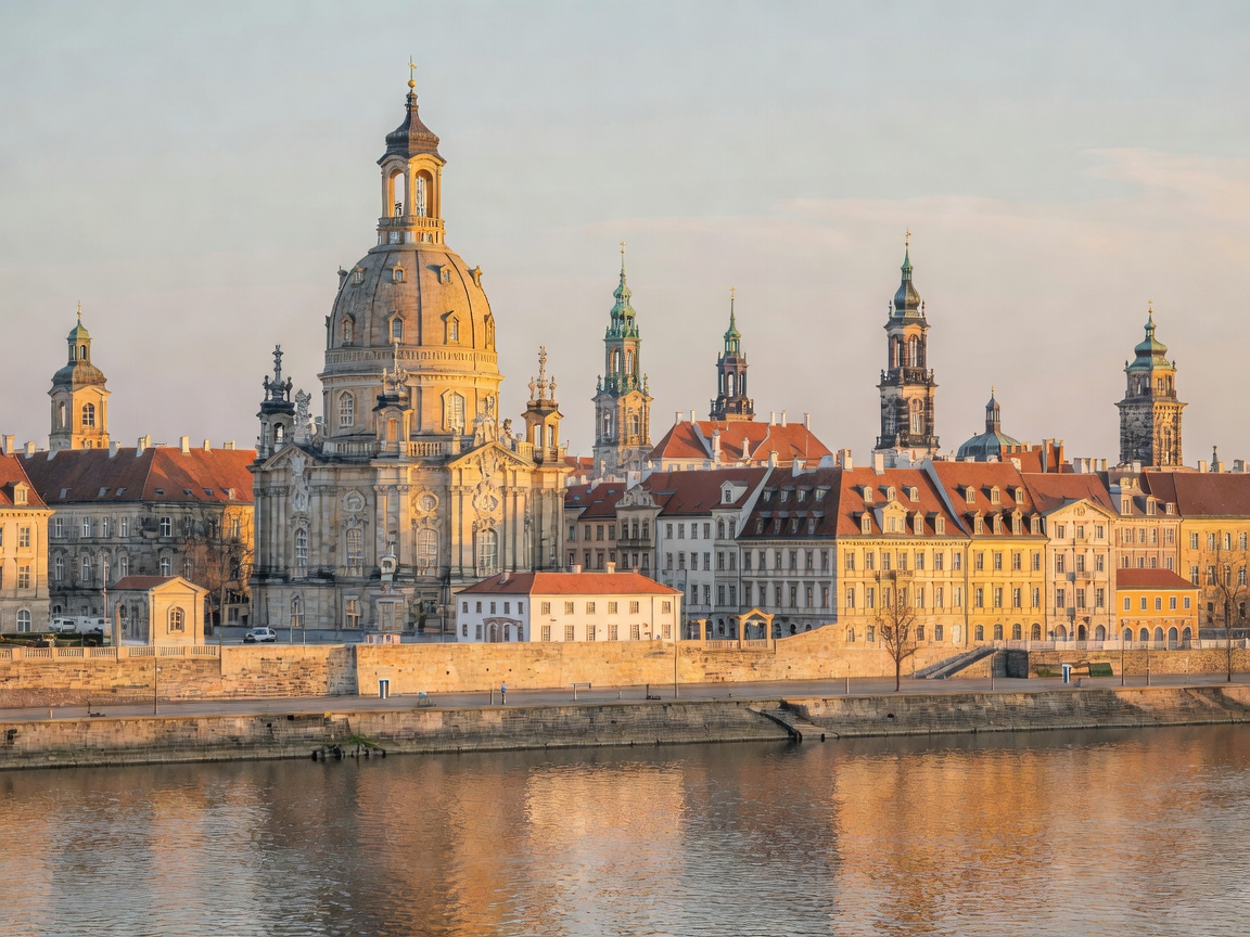
51°03'00"N 13°44'24"E KM 495.2
Dresden Frauenkirche and historic skyline over the Elbe river Baroque Heritage

Dresden: Florence on the Elbe

A world-renowned cultural nexus featuring the reconstructed Frauenkirche, Zwinger Palace, and Brühl's Terrace overlooking the wide river meanders.

State / Region
Saxony, Germany
Average Flow
317 m³/s
Top Landmark
Brühl Terrace
Bridge Count
9 Crossings
Inspect Dresden Dossier
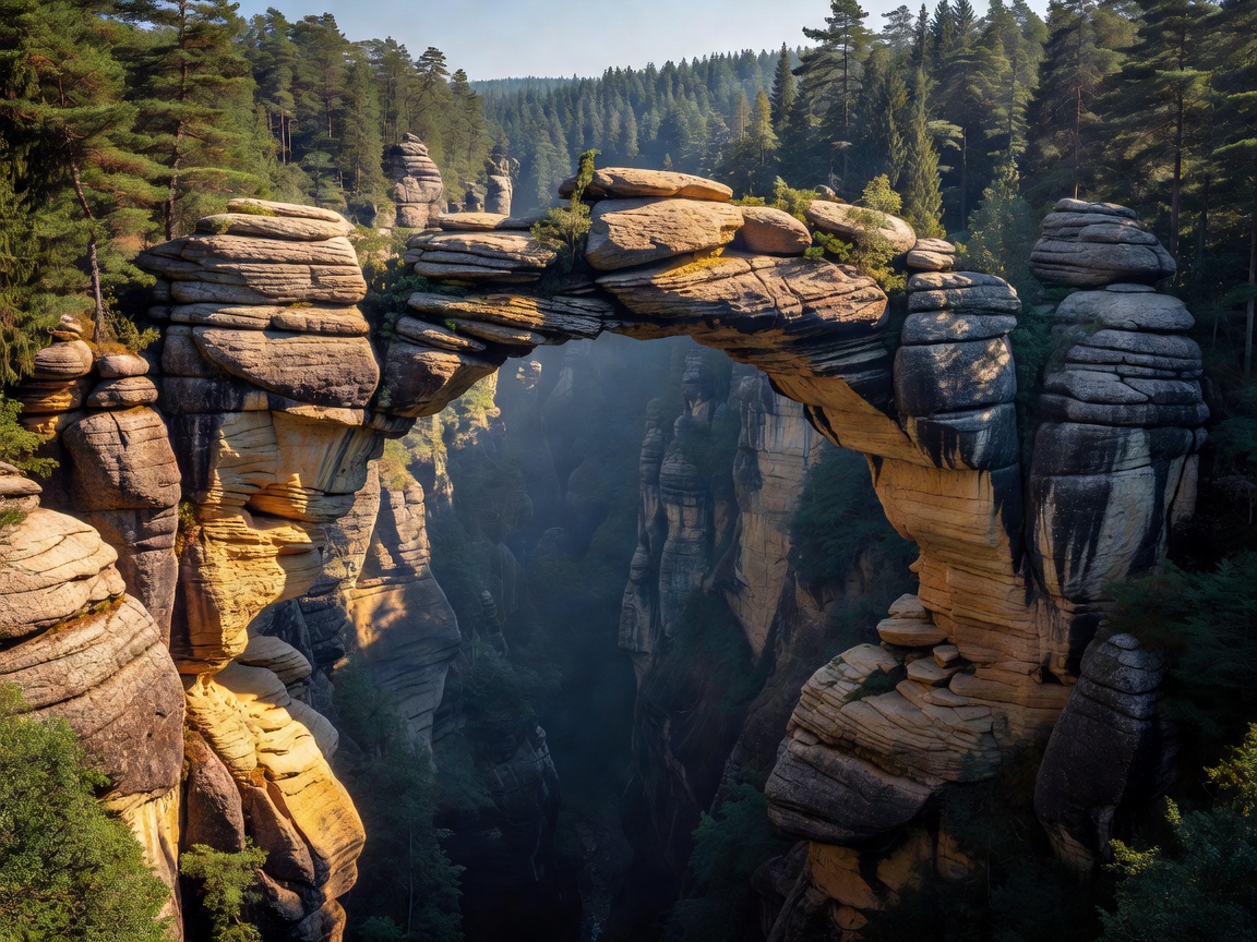
50°53'02"N 14°16'51"E KM 365.8
Towering sandstone rock bridge in Bohemian Switzerland canyon Geological Wonder

Bohemian Switzerland & Pravčická Brána

Europe's largest natural sandstone arch spanning towering gorge walls, evergreen conifer slopes, and pristine canyon tributaries.

Protected Status
National Park
Arch Span
26.5 Meters
Gorge Depth
Up to 150m
Country
Czech Republic
Inspect Geology Dossier
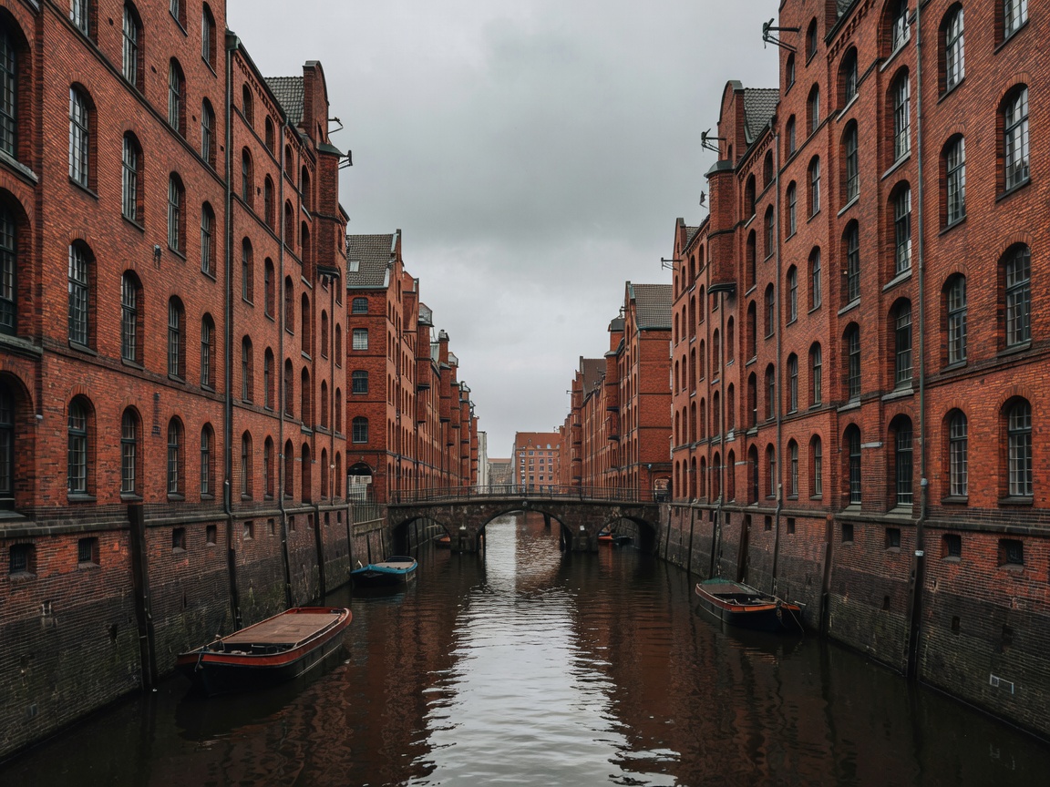
53°32'45"N 09°58'48"E KM 1,020.4
Hamburg Speicherstadt warehouse district with brick facades on canal Tidal Gateway

Hamburg: The Maritime Estuary

The third-largest port in Europe, situated where the broad river splits into Northern and Southern branches beside the historic red-brick Speicherstadt.

Tidal Amplitude
3.6 Meters
Annual Cargo
128M Tonnes
UNESCO Site
Speicherstadt
Sea Distance
110 km to Bay
Inspect Maritime Dossier